Skip to content

GMU 59 · Definitional + getting started

What is GMU 59?

A quick-reference guide to the Colorado Game Management Unit that covers the south slope of Pikes Peak. For the deep profile — terrain, draw odds, access points — see the GMU 59 unit page.

The short answer

GMU 59 is the Colorado Parks and Wildlife Game Management Unit covering the south slope of Pikes Peak — approximately 700 square miles in Teller County and the western edge of El Paso County. Bull elk is limited entry in 1st and 4th rifle and over the counter in 2nd and 3rd rifle; mule deer is limited entry. The nearest airport is Colorado Springs (COS), 60 miles east. Non-resident preference-point cutoffs for elk run 1–4 points depending on weapon class.

Where + what

The basics, in five paragraphs.

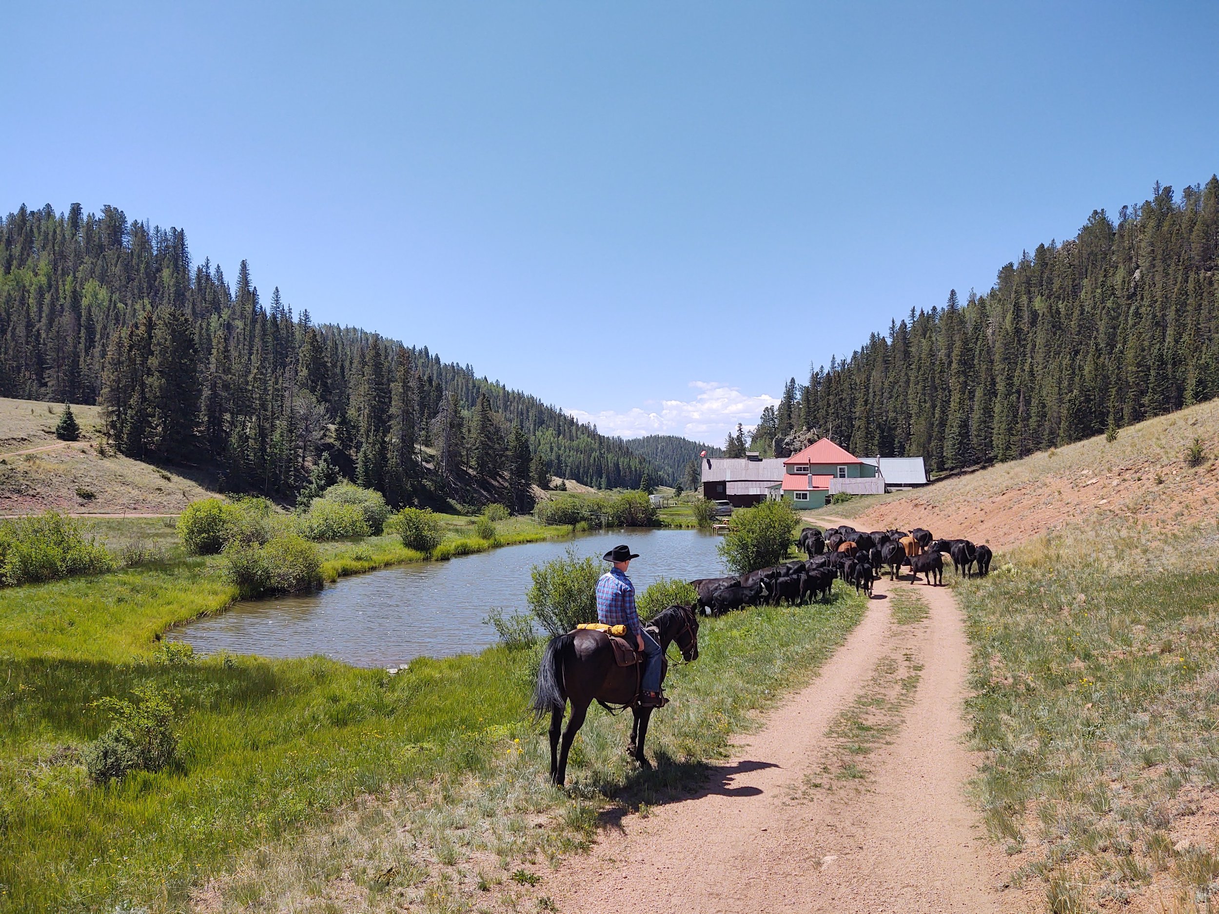
GMU 59 is one of Colorado’s 185 game management units — the boundary system CPW uses to allocate hunting licenses, set season dates, and track wildlife populations. The unit spans roughly 700 square miles, anchored on the south slope of Pikes Peak.

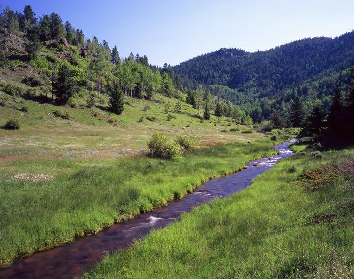
Geographically, GMU 59 runs from Cheyenne Mountain at the eastern edge (just west of Colorado Springs proper) west through the Pike National Forest to the Cripple Creek mining district. The southern boundary follows the Beaver Creek drainage; the northern boundary runs along the south face of Pikes Peak itself.

1st and 4th rifle bull elk are limited entry. To hunt those seasons you need to either draw a tag through the CPW primary draw (application deadline in early April — April 7 in 2026 — and late-May results) or acquire a landowner voucher from a qualifying private landowner on the unit. 2nd and 3rd rifle bull elk licenses are over the counter — no draw needed.

Huntable speciesare bull elk (archery, muzzleloader, rifle 1st through 4th), mule deer (combined seasons with elk plus archery and muzzleloader), black bear (hunted alongside elk on the Elk Glade Elk + Deer or Bear combo), spring Merriam’s turkey, and limited mountain lion. No antelope.

Access is best from Colorado Springs (COS airport, 60 miles east of the unit center) via Old Stage Road through Cheyenne Mountain. The drive takes 90 minutes. Public access into the unit is via Old Stage Road, Gold Camp Road, and several USFS roads off County Road 8.
Frequently asked.

What does GMU 59 stand for?

GMU stands for Game Management Unit. Colorado divides the state into roughly 185 GMUs, each a defined geographic area used by Colorado Parks and Wildlife (CPW) for hunting license allocation, season-date setting, and wildlife population tracking. GMU 59 is the unit covering the south slope of Pikes Peak.

How big is GMU 59?

GMU 59 covers approximately 700 square miles in Teller County and the western edge of El Paso County, Colorado. The unit runs from Cheyenne Mountain at the eastern boundary west through the Pike National Forest to the Cripple Creek mining district.

Is GMU 59 over-the-counter or limited entry for elk?

Both, depending on the season. In GMU 59, 1st and 4th rifle bull elk are limited entry: you draw the tag through the CPW primary draw or acquire a landowner voucher. 2nd and 3rd rifle bull elk licenses are over the counter, so no draw is needed. Rules change from year to year, so check CPW's big-game page before you apply.

What weapon classes are available for GMU 59 elk?

All six standard Colorado weapon classes are available on GMU 59: archery (early September), muzzleloader (mid-September, 9 days), rifle 1st (mid-October, 5 days bull-only), rifle 2nd (late October, 9-day combined), rifle 3rd (mid-November, 9-day combined), and rifle 4th (late November, 5-day limited).

Why hunt GMU 59 instead of a western-slope unit?

Three reasons typically: proximity (60 miles from Colorado Springs airport vs 200+ to western-slope units), private-land density (40% private with landowner-voucher availability), and lower hunter pressure than the popular western-slope GMUs. Trade-off is smaller herd numbers vs western-slope; the country compensates with better access and timing.